World's first drone to reach the stratosphere climbs 34,245 feet for weather data

Weather forecasting could be about to hit a milestone thanks to a drone designed to collect atmospheric data from heights that most drones could only dream of reaching, the stratosphere.
The aircraft, developed by Swiss weather intelligence company Meteomatics, has demonstrated how drones can help scientists gather information about conditions in the atmosphere.
Its impressive flight reached 34,245 feet, opening up exciting possibilities for weather research.
Getting a better picture of what is happening above our heads could help meteorologists understand the atmosphere in greater detail and improve the information used to predict changing weather conditions.
The drone climbed more than six miles into the sky
Reaching 34,245 feet is no small achievement, with the drone of the future climbing to an altitude of more than six miles above the ground.
For comparison, commercial passenger jets typically cruise at altitudes of around 30,000 to 40,000 feet, meaning the technologically advanced drone reached heights comparable to those used by airliners.
The flight highlights the potential for unmanned aircraft to explore parts of the atmosphere that are difficult to study using conventional weather-monitoring equipment.
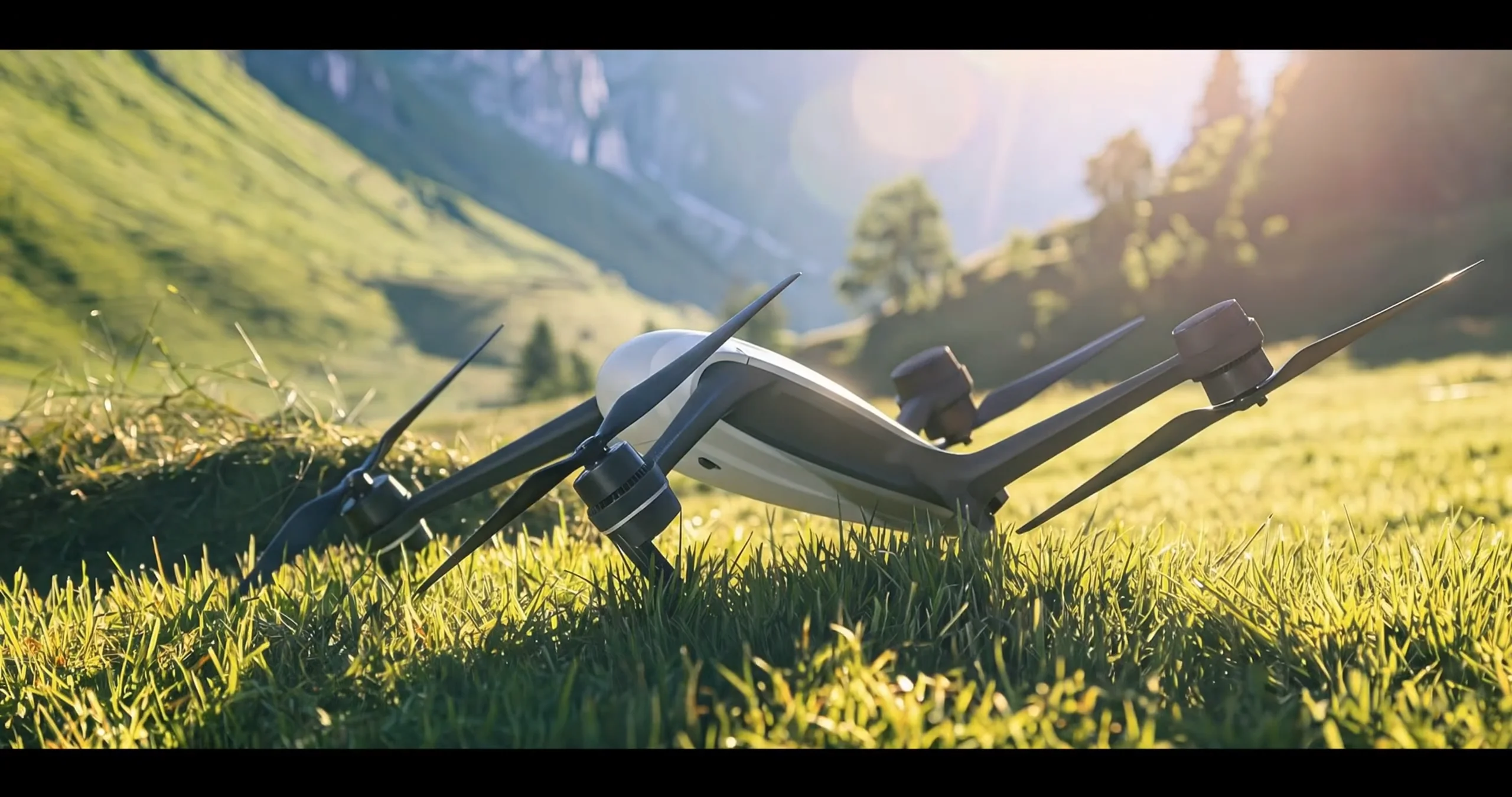
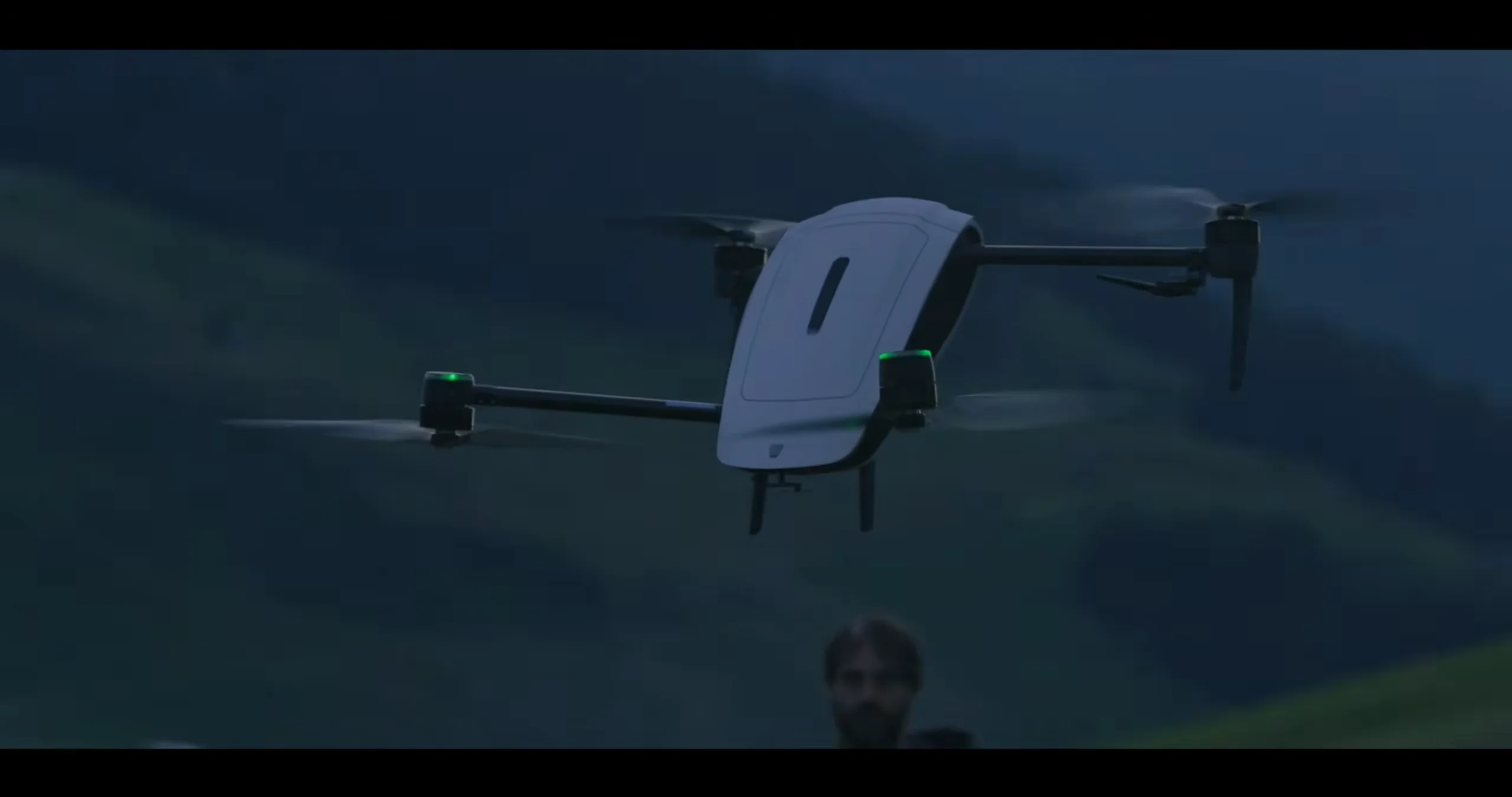
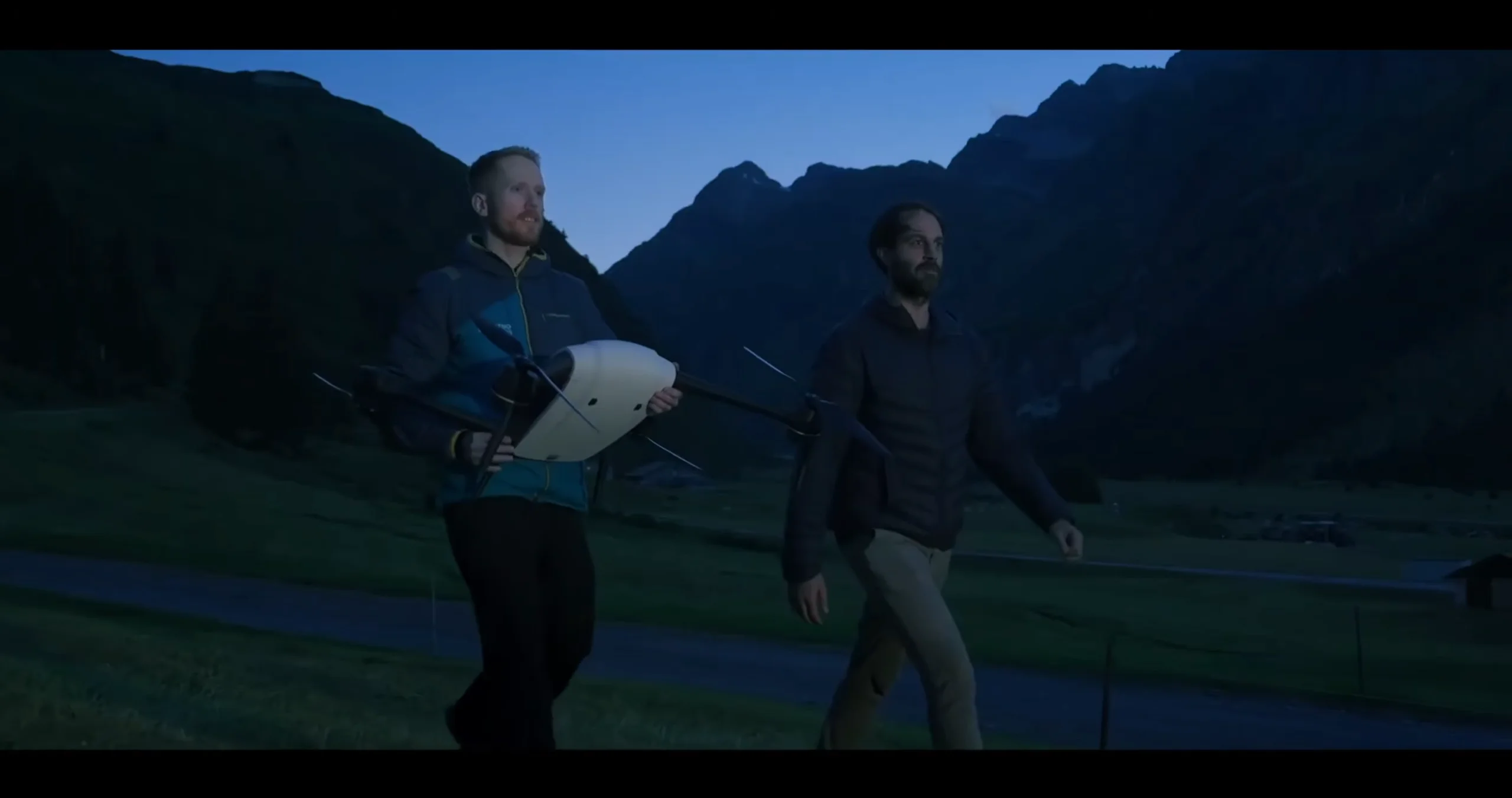
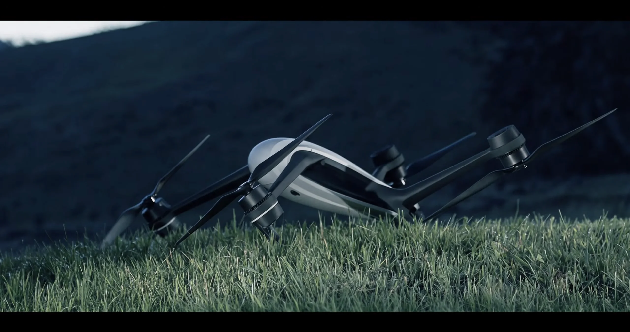
Meteomatics has developed its own range of weather drones, known as Meteodrones, to collect atmospheric measurements and help fill gaps in existing weather observations.
These aircraft can measure conditions such as temperature, humidity and wind, giving meteorologists a more detailed understanding of how the atmosphere behaves at different heights.
That information matters because weather systems are constantly changing, and conditions in the air above a particular location can influence what happens closer to the ground.
Better weather data could help improve forecasts
Weather forecasting relies on a huge amount of information collected from satellites, radar systems, weather stations and other monitoring equipment.
However, gathering accurate measurements throughout the atmosphere remains challenging, particularly in areas where traditional observation methods provide limited information.
Weather drones offer another way to collect measurements directly from the air, potentially helping scientists build a more complete picture of atmospheric conditions.
That could be particularly useful when studying complicated weather phenomena, including thunderstorms, fog and low clouds, which can be difficult to predict accurately.
Meteomatics combines atmospheric measurements with weather models to help produce more detailed forecasts.
Its aircraft technology is designed to complement existing sources of weather information rather than replace them entirely.
The drones can fly at the height of commercial airplanes
The company says its Meteodrones can fly up to six kilometers, or around 19,685 feet, for its operational weather-data collection.
The reported 34,245-foot flight demonstrates the much higher altitude achieved during the stratospheric milestone.
Although a single record-breaking flight will not suddenly make every forecast accurate, collecting more atmospheric data could help scientists identify patterns that existing systems might miss.
And as weather drones continue to develop, they could become an increasingly valuable tool for researchers trying to understand the atmosphere and the stratosphere and predict what it will do next.

 点赞
点赞 收藏
收藏 点踩
点踩 分享
分享